The territory · Cantabrian Bioregion
The Biorrexión Cantábrica
Bio means life. Region names a territory recognised by shared traits. A bioregion is a region understood through the systems that sustain life: climate, water, soils, ecosystems, forms of production, culture and communities.
Ortegal, A Mariña and Oscos-Eo form a continuous Atlantic territory connected by the Cantabrian Sea, the river basins, the mountains, the productive landscapes, everyday mobility and a shared food culture. These relationships do not end at administrative boundaries.
The delimitation of the Biorrexión is functional, ecological and relational, not a new administrative division.
The territory in figures
The map of the territory
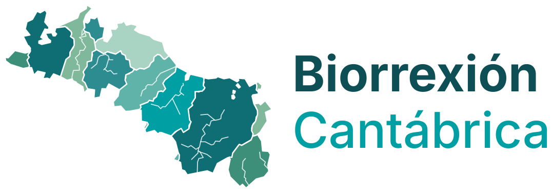
The ten watershed units over the 27 municipalities. The watershed is the working layer; the municipalities remain the legal and funding reference.
Watershed units
- Cerdido and Ría de Cedeira
- Ría de Ortigueira (Mera)
- Sor and Ría do Barqueiro
- Landro and Ría de Viveiro
- Xove, Cervo and Burela coast
- Ouro
- Masma and Ría de Foz
- Eo estuary
- Navia headwaters (Oscos)
- Porcía
What gives the territory its continuity:
- The relationship between land and sea
- Artisanal fishing
- The ports and fish markets
- Seafaring knowledge
- Agricultural and agroecological production
- The river basins
- The mountains and productive landscapes
- Culture and communities